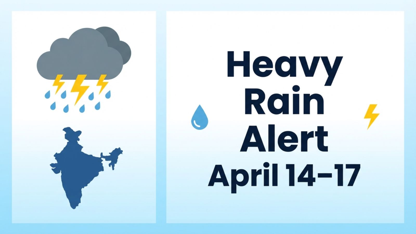
India is set to witness a significant spell of pre-monsoon rainfall between April 14 and April 17, 2026, bringing relief from rising temperatures in several regions. Weather systems including a Western Disturbance, moisture inflow from the Bay of Bengal, and wind discontinuity are combining to trigger thunderstorms, gusty winds, and heavy rain in different parts of the country.
While this is not the arrival of the monsoon, the intensity and spread of rainfall are expected to be notable, especially in eastern and northeastern states.
Table of Contents
Weather System Behind the Rainfall
The current weather activity is being driven by multiple atmospheric factors working together. A Western Disturbance is influencing northern India, while moisture from the Bay of Bengal is feeding storm development over eastern and central regions. At the same time, wind patterns in southern India are supporting scattered rainfall.
This combination typically leads to short-duration but intense weather events, including lightning, strong winds, and localized heavy rainfall.
Day-Wise Rainfall Forecast (April 14–17)
April 14: Rain Activity Begins in North and East
The spell is expected to begin with light to moderate rainfall and thunderstorms across northern and eastern India. Areas including Delhi, Haryana, Punjab, and western Uttar Pradesh may experience cloudy skies, gusty winds, and isolated rain showers.
Eastern states such as Bihar, Jharkhand, and West Bengal are likely to witness more active thunderstorm development, with moderate rainfall in several districts.
April 15: Rainfall Expands and Intensifies
By April 15, the rainfall activity is expected to spread further across central and eastern India. Odisha, Jharkhand, and West Bengal may receive moderate to heavy rainfall, accompanied by lightning and strong winds.
Central regions such as Chhattisgarh and parts of Madhya Pradesh are also likely to come under the influence of this system, while northern states may continue to experience brief thunderstorms and showers.
April 16: Peak Rainfall Day for Northeast and East India
April 16 is expected to be the most intense day of this weather spell. Northeastern states including Assam, Meghalaya, Arunachal Pradesh, Tripura, and Mizoram may receive heavy to very heavy rainfall, raising the possibility of localized disruptions.
Eastern states such as West Bengal and Odisha are also likely to experience heavy rain and thunderstorms. Northern India, including Delhi-NCR, may continue to see moderate rainfall and gusty winds, providing temporary relief from heat.
April 17: Rainfall Gradually Weakens
The intensity of rainfall is expected to decrease on April 17 as the system begins to weaken and move eastward. Northeastern India may still receive moderate rain, while eastern states like Bihar and West Bengal could see light to moderate showers.
Northern and central regions are likely to experience improving weather conditions, with cloudy skies and occasional light rain.
States Likely to Be Affected
The rainfall spell will not impact the entire country uniformly. Instead, different regions will experience varying intensity levels.
North India: Delhi, Haryana, Punjab, Uttar Pradesh
East India: Bihar, Jharkhand, West Bengal, Odisha
Central India: Madhya Pradesh, Chhattisgarh
Northeast India: Assam, Meghalaya, Arunachal Pradesh, Tripura, Mizoram
South India: Karnataka, Telangana, Andhra Pradesh, Kerala, Tamil Nadu (light and scattered rain)
Key Weather Alerts and Impact
This pre-monsoon spell is expected to bring both relief and risks. A drop in temperature of around 2–4°C is likely in many regions, particularly in North and Central India.
However, thunderstorms may bring lightning risks and gusty winds reaching 40–60 km/h, especially in northern plains. Heavy rainfall in northeastern states on April 16 could lead to waterlogging in low-lying areas.
Residents in affected regions are advised to stay alert during thunderstorm hours and avoid open areas during lightning activity.
The April 14–17 rainfall spell reflects a typical pre-monsoon transition phase in India, where rising heat interacts with moisture and atmospheric disturbances to create unstable weather conditions.
While the rain will provide short-term relief from heat, it also signals the gradual seasonal shift toward the monsoon in the coming months.